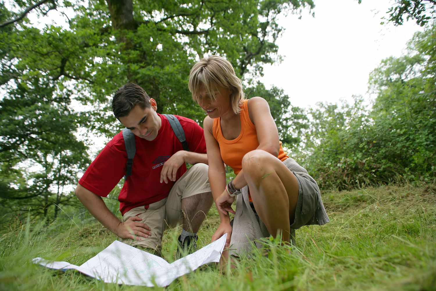
Here’s our choice of waymarked itineraries created by the Départemental Committee for Walking and Hiking – identify a destination that matches your walking ability.
Families will go for easy routes that are fine for small children. These walks in rural settings – by a river, through a charming village – enable the visitor to discover the wealth of natural and architectural heritage in Vals de Saintonge.
Saint-Denis-du-Pin- Essouvert – PR2 – A forest discovery trail
2 km – 30 minutes
Situation: 10 km to the northeast of Saint-Jean-d’Angély
Departure: the picnic area opposite the carpark of l’Alliance
Waymarking: yellow
This forest discovery trail was created by the Forestry Commission and you’ll find details of the various species and forest life on pedagogic panels. Perfect for introducing small children to walking.
Les Nouillers – PR34 – Le Château de Bois Charmant
6 km – 1h30
Situation: 12 km west of Saint-Jean-d’Angély
Departure: the church at Nouillers
Waymarking: yellow
This itinerary presents lovely views of the château de Bois Charmant, little modified since 1605 and home to an important noble. The walk encompasses woodland and edge of forest trails.
Perfect for a short family walk with children.
Puyrolland – PR41 – Le terrier de Puyrolland
10 km – 2h30
Situation: 19 km northwest of Saint-Jean-d’Angély
Departure: Puyrolland church, Les Cantinauds
Waymarking: yellow
High up, one is first of all inspired by the surroundings of the church. Legend has it that Charlemagne’s nephew Rolland fought a duel here with the young lord Ganelon. Admire the view across the marshes before starting out on this steep trail, partly dirt-track, partly gravel.
Coivert – PR5 – Le circuit de la Roche
6 km – 1h30
Situation: 19 km north of Saint-Jean-d’Angély
Departure: mairie de Coivert
Waymarking: yellow circles
From the hamlet of La Roche overlooking the river, you quickly reach the Charbonnières wood, where charcoal used to be produced. Along the itinerary you have fine views of the Boutonne and its numerous watermills.
Dampierre sur Boutonne – PR8- Le Baudet du Poitou
12 km – 3h
Situation: 24 km north of Saint-Jean-d’Angély
Departure: château de Dampierre-sur-Boutonne
Waymarking: yellow
From the Renaissance château of Dampierre- sur-Boutonne to the Baudet du Poitou donkey sanctuary at la Tillauderie, though woodland, you’ll follow paths marked by history such as the Chemins des Huiliers. Picnic area and visit of the sanctuary, at the mid-point. This itinerary links two unmissable sites in Vals de Saintonge (entrance fee reduced for a second visit).
Neuvicq-Le-Château – PR19 – Circuit de Neuvicq-Les Brousses
10 km -2h30
Situation: 32 km east of Saint-Jean-d’Angély
Departure: château (mairie)
Waymarking: yellow
Starting from the 15th century château (listed historic monument), follow an itinerary through vines, woodland and valleys that takes you through typical hamlets of this winemaking region - La Brousse, Puygard-Bas and Puygard-Haut -returning to the château via le Gouffre.
Taillebourg to Annepont – PR28- Les trois châteaux
11 km – 2h30
Situation: 16 km southwest of Saint-Jean-d’Angély
Departure: Taillebourg cemetery, to the north of the village
Waymarking: yellow
After admiring the wonderful view of the Charente from the park of the château, take a path which crosses, between woods and vines, the Rutelière marsh, the hillside of Annepont, the valley of the Bramerit. The Romanesque church of Annepont invites you to admire its sculpted decoration.
Saint-Savinien-sur-Charente – PR30 – Le long du Charenton
8 km – 2h
Situation: 15 km southwest of Saint-Jean-d’Angély
Departure: church of Saint-Savinien-sur-Charente
Waymarking: GR36 white and red then yellow
After admiring the view of the Charente, follow the Charenton valley marked by the presence of watermills and the enchanting setting of the Barbaras fountain. Holm oaks and phillyera, Mediterranean species, grow on this limestone soil where the rock is visible.
La Frédière- PR27 – Around the Bramerit
6 km – 1h30
Situation: 12 km sothwest of Saint-Jean-d’Angély
Departure: the church
Waymarking: GR then yellow
Leave the charming church set in its cemetery and wander through the Bramerit valley between wooded hillsides, welcoming hamlets and the coolness of woodland. The calvary (14th century), marked by stones left by pilgrims is a reminder that this is the Saint James’ Way.
Varaize – PR 39 – Circuit des bois
9 km - 2h15
Situation: 6 km east of St Jean d’Angély
Departure: Varaize church
Waymarking: yellow
Situated on the former Roman road, the village of Varaize is centred on its Romanesque church and the vast square of Saint-Germain. A gravel path leads to woods high up, interspersed with vines and cereals.
Detailed cards on these walks are for sale in Tourist Information Offices.
.tb_button {padding:1px;cursor:pointer;border-right: 1px solid #8b8b8b;border-left: 1px solid #FFF;border-bottom: 1px solid #fff;}.tb_button.hover {borer:2px outset #def; background-color: #f8f8f8 !important;}.ws_toolbar {z-index:100000} .ws_toolbar .ws_tb_btn {cursor:pointer;border:1px solid #555;padding:3px} .tb_highlight{background-color:yellow} .tb_hide {visibility:hidden} .ws_toolbar img {padding:2px;margin:0px}